Details of the Surroundings
Punjab is bordered by Azad Kashmir to the north-east, the Indian states of Punjab and Rajasthan to the east, the province of Sindh to the south, the province of Balochistan to the southwest, the province of Khyber Pakhtunkhwa to the west, and the Islamabad Capital Territory to the north.
The capital and largest city of Punjab is Lahore which was the historical capital of India during the Moghul times. Other important cities of Punjab include Gujrat, Multan, Faisalabad, Sheikhupura, Sialkot, Gujranwala, Jhelum, and Rawalpindi.
Punjab is mainly a fertile region along the river valleys, while in the southern belt deserts of Cholistan is a bare land. The landscape is amongst the most heavily irrigated on earth and canals can be found throughout the province. Weather extremes are notable from the hot and barren south to the cool hills of the north. The foothills of the Himalayas are found in the extreme north as well.
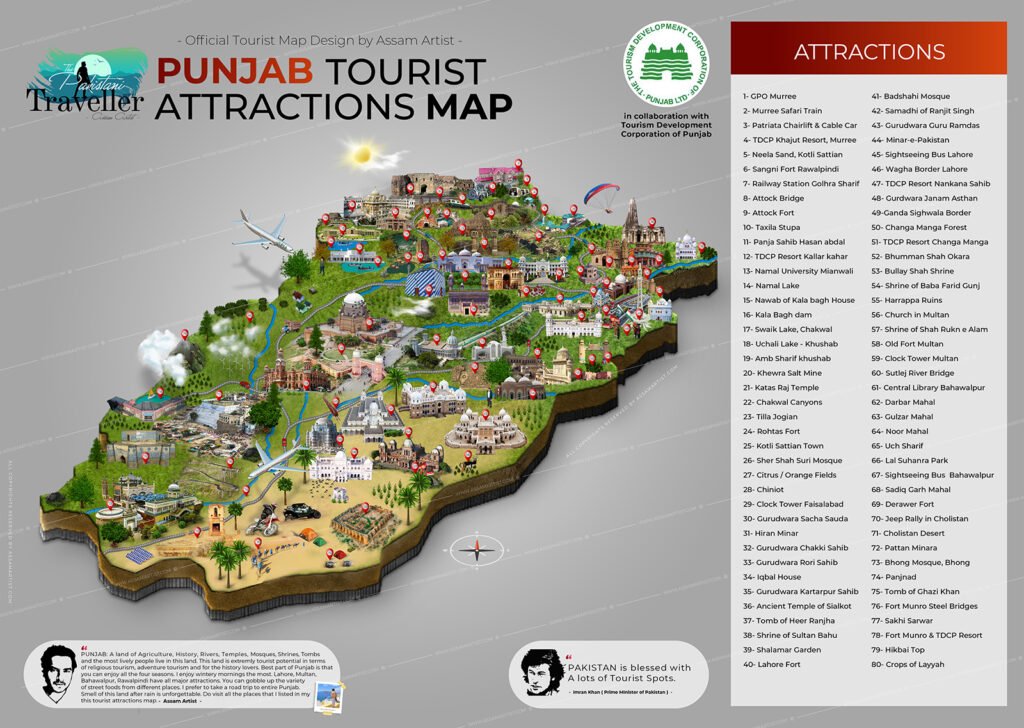
Map of Punjab: