While it is the third-largest Pakistani province in terms of both its population and its economy, it is geographically the smallest. The province is home to 17.9 percent of Pakistan’s total population, with the majority of its inhabitants being Pashtuns and Hindkowans. Within Pakistan, Khyber Pakhtunkhwa borders Punjab, Balochistan, the Islamabad Capital Territory, and the Pakistani-administered territories of Gilgit–Baltistan and Azad Jammu and Kashmir.
Once a stronghold of Buddhism, Khyber Pakhtunkhwa is the site of the ancient region of Gandhara, including the ruins of the Gandharan capital of Pushkalavati (located near modern-day Charsadda). The region’s history is characterized by frequent invasions by various empires, largely due to its geographical proximity to the historically important Khyber Pass.
Although it is colloquially known by a variety of other names, the name “Khyber Pakhtunkhwa” was brought into effect for the North-West Frontier Province in April 2010, following the passing of the 18th Constitutional Amendment. On 2 March 2017, the Pakistani government considered a proposal for a merger of the adjoining Federally Administered Tribal Areas (FATA) with Khyber Pakhtunkhwa as well as a repealing of the Frontier Crimes Regulation, which Pakistan had inherited from the British Raj in order to govern the region following the partition of India in 1947. However, some political parties opposed the merger and instead called for the FATA to be reorganized as a separate province. However, on 24 May 2018, the National Assembly of Pakistan voted in favor of the 25th Constitutional Amendment, which would merge the FATA as well as the Provincially Administered Tribal Areas with Khyber Pakhtunkhwa. The Provincial Assembly of Khyber Pakhtunkhwa subsequently approved the bill on 28 May 2018; it was signed into law on 31 May by erstwhile Pakistani president Mamnoon Hussain, which officially completed the historic administrative merger process.

Geography
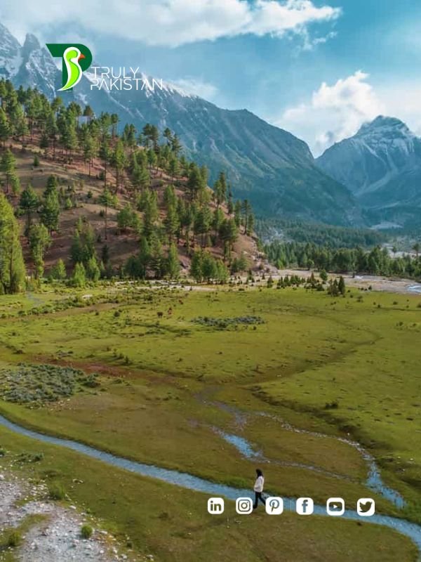
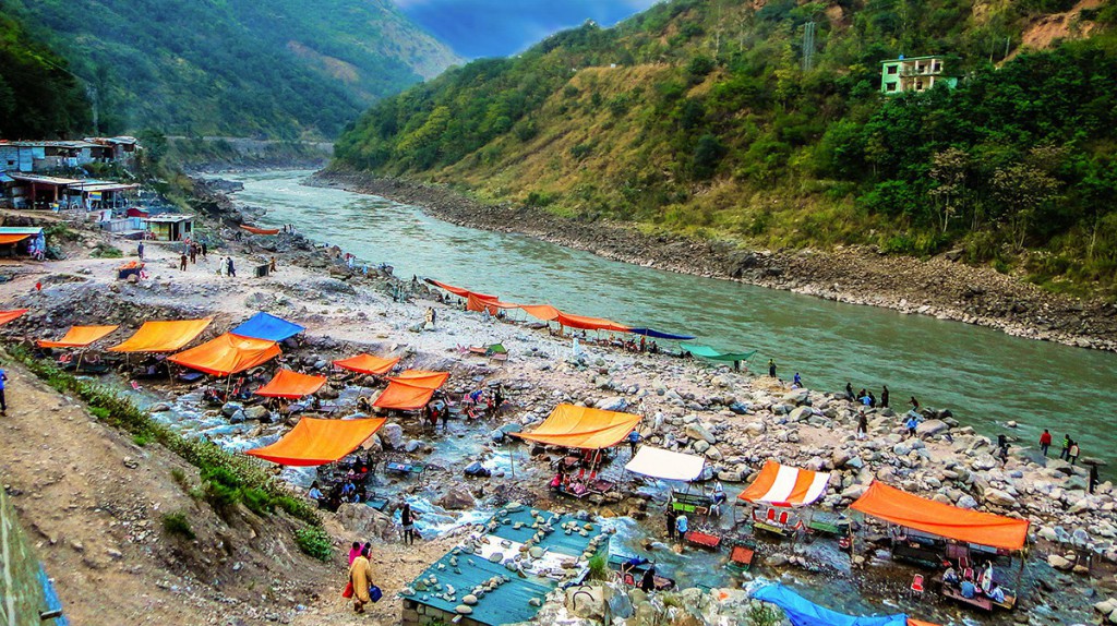
Northern parts of the province feature forests and dramatic mountain scenery, as in the Swat District.
Khyber Pakhtunkhwa sits primarily on the Iranian plateau and comprises the junction where the slopes of the Hindu Kush mountains on the Eurasian plate give way to the Indus-watered hills approaching South Asia. This situation has led to seismic activity in the past. The famous Khyber Pass links the province to Afghanistan, while the Kohala Bridge in Circle Bakote Abbottabad is a major crossing point over the Jhelum River in the east.
Geographically the province could be divided into two zones: the northern zone extending from the ranges of the Hindu Kush to the borders of the Peshawar basin and the southern zone extending from Peshawar to the Derajat basin.
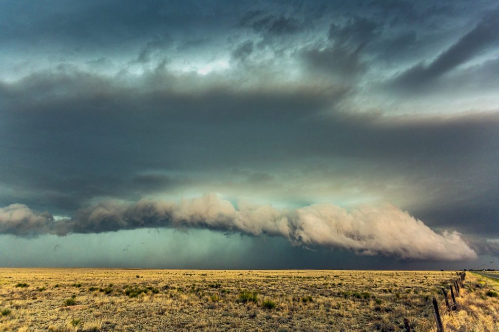

Close view dangerous thunderstorm with gust front and shelf cloud producing hail and torrential rain in New Mexico
The northern zone is cold and snowy in winters with heavy rainfall and pleasant summers with the exception of the Peshawar basin, which is hot in summer and cold in winter. It has moderate rainfall.
The southern zone is arid with hot summers and relatively cold winters and scanty rainfall. The Sheikh Badin Hills, a spur of clay and sandstone hills that stretch east from the Sulaiman Mountains to the Indus River, separate Dera Ismail Khan District from the Marwat plains of the Lakki Marwat. The highest peak in the range is the limestone Sheikh Badin Mountain, which is protected by the Sheikh Badin National Park. Near the Indus River, the terminus of the Sheikh Badin Hills is a spur of limestone hills known as the Kafir Kot hills, where the ancient Hindu complex of Kafir Kot is located.
The major rivers that criss-cross the province are Kabul, Swat, Chitral, Kunar, Siran, Panjkora, Bara, Kurram, Dor, Haroo, Gomal, and Zhob.
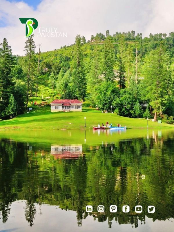
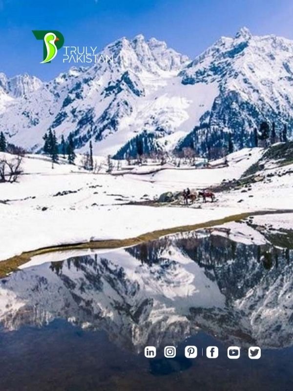
Its snow-capped peaks and lush green valleys of unusual beauty have enormous potential for tourism.
Climate
The climate of Khyber Pakhtunkhwa varies immensely for a region of its size, encompassing most of the many climate types found in Pakistan. The province stretching southwards from the Baroghil Pass in the Hindu Kush covers almost six degrees of latitude; it is mainly a mountainous region. Dera Ismail Khan is one of the hottest places in South Asia while in the mountains to the north the weather is mild in the summer and intensely cold in the winter. The air is generally very dry; consequently, the daily and annual range of temperature is quite large.
Rainfall also varies widely. Although large parts of Khyber Pakhtunkhwa are typically dry, the province also contains the wettest parts of Pakistan in its eastern fringe especially in the monsoon season from mid-June to mid-September.
Language
- Pashto (79.89%)
- Hindko (9.87%)
- Saraiki (3.21%)
- Others (7.03%)
Urdu, being the national and official language, serves as a lingua franca for inter-ethnic communications, and sometimes Pashto and Urdu are the second and third languages among communities that speak other ethnic languages.
The most widely spoken language is Pashto, native to 78.89% of the population and spoken throughout the province.[99] Other languages with significant numbers of speakers include Hindko (9.87%) and Saraiki (3.21%). Hindko is spoken in the southern part of the Hazara division in the northeast, and a Hindko dialect was once the predominant language of the Peshawar Valley before Pashtun settlement in the area. Saraiki speakers are found in the Dera Ismail Khan district in the far south of the province. Languages that the census recorded as ‘Other’ were 5.19% of the population, overwhelmingly Dardic languages spoken in the mountainous northeast of the province including Chitral, Kohistan and the upper parts of Manshera, Dir and Swat valleys. The most prominent of these are Khowar, spoken in Chitral, and Kohistani, spoken in the Kohistan region. In 2011 the provincial government approved in principle the introduction of Pashto, Saraiki, Hindko, Khowar and Kohistani as compulsory subjects for schools in the areas where they are spoken.
Religion
The overwhelming majority of the residents of the Khyber Pakhtunkhwa follows and professes the Sunni Islam while the small number of Shias of Islam are found among the Isma’ilis in the Chitral district. The tribe of Kalasha in southern Chitral still retain an ancient form of Hinduism mixed with Animism, a faith once dominant in the mountainous upper northeast of the district. There are very small numbers of residents who are the adherents of Roman Catholicism denomination of Christianity, Hinduism and Sikhism, mainly living in Peshawar and other urban centres.
Administrative divisions and districts
Khyber Pakhtunkhwa is divided into seven Divisions – Bannu, Dera Ismail Khan, Hazara, Kohat, Malakand, Mardan, and Peshawar. Each division is split up into anywhere between two and nine districts, and there are 35 districts in the entire province. Below you can find a list showing each district ordered by alphabetical order. A full list showing different characteristics of each district, such as their population, area, and a map showing their location can be found at the main article.
Abbottabad District
Bajaur District
Bannu District
Batagram District
Buner District
Charsadda District
Dera Ismail Khan District
Hangu District
Haripur District
Karak District
Khyber District
Kohat District
Kolai-Palas District
Kurram District
Lakki Marwat District
Lower Chitral District
Lower Dir District
Lower Kohistan District
Malakand District
Mansehra District
Mardan District
Mohmand District
North Waziristan District
Nowshera District
Orakzai District
Peshawar District
Shangla District
South Waziristan District
Swabi District
Swat District
Folk music and culture
Pashto folk music is popular in Khyber Pakhtunkhwa and has a rich tradition going back hundreds of years. The main instruments are the rubab, mangey and harmonium. Khowar folk music is popular in Chitral and northern Swat. The tunes of Khowar music are very different from those of Pashto, and the main instrument is the Chitrali sitar. A form of band music composed of clarinets (Surnai) and drums is popular in Chitral. It is played at polo matches and dances. The same form of band music is played in the neighbouring Northern Areas.
Education
Year Literacy rate
1972 15.5%
1981 16.7%
1998 35.41%
2017 51.66%
2020 55.1%
Khyber Pakhtunkhwa has traditionally had a very low literacy rate, although this is changing in recent times. As of the 2017 census, the literacy rate for Khyber Pakhtunkhwa (including FATA) is 51.66%. In rural areas, the literacy rate is 48.44% of the population while in urban areas it is 66.86%. Khyber Pakhtunkhwa has a huge gap in literacy rate between sexes – for men it is 66.67% while the female literacy rate is 34.58%, just over half the male literacy rate. This gap is particularly prominent in the overwhelmingly-Pashto rural areas, where traditional gender norms have generally limited education of women. As of 2021, Khyber Pakhtunkhwa (KP) has the highest literacy growth rate in the whole country (Pakistan).
Sports
Cricket is the main sport played in Khyber Pakhtunkhwa. It has produced world-class sportsmen like Shahid Afridi, Younis Khan, Khushdil Shah, Fakhar Zaman and Umar Gul. Besides producing cricket players, Khyber Pakhtunkhwa has the honour of being the birthplace of many world-class squash players, including greats like Hashim Khan, Qamar Zaman, Jahangir Khan and Jansher Khan.
Tourism
Khyber Pakhtunkhwa is located in the north-west region of Pakistan. It is known as the tourist hotspot for adventurers and explorers. The province has a varied landscape ranging from rugged mountains, valleys, hills and dense agricultural farms. The region is well known for its ancestral roots. There are a number of Buddhist archaeological sites from the Gandhara civilisation such as Takht Bhai and Pushkalavati. There are a number of other Buddhist and Hindu archaeological sites including Bala Hisar Fort, Butkara Stupa, Kanishka stupa, Chakdara, Panjkora Valley and Sehri Bahlol.
Peshawar is the provincial capital of Khyber Pakhtunkhwa. The city is home to a number of sites including Bala Hisar Fort, Peshawar Museum, archaeological site of Gor Khuttree, Mohabbat Khan Mosque, old city of Sethi Mohallah, Jamrud Fort, the Sphola Stupa and the most famous market of Qissa Khawani. The city of Dera Ismail Khan is known to be the entrance into the province from Punjab and Balochistan. The city is famous for its Hindu ruins at Kafir Kot. The Buddhist ruins at Shahbaz Garhi are also famous in the city of Mardan. Heading towards North, the region of Swat valley comes, which is a lush green paradise for the travelers, full of charming and picturesque spots like Marghazar, Miandam, Malam Jabba, Gabina Jabba, Jarogo Waterfall and Kalam sub valley are worth seen areas.
One of the most important cities in the province is Mansehra. The city is a major stop for tourists setting out to the Northern Areas and Azad Kashmir. The city is connected by the famous Karakoram Highway which ends up in China. Along the route there are several stops including the Kaghan Valley, Balakot, Naran, Shogran, Lake Saiful Mulook and Babusar Top. There are also several other sites within the province which attract a large number of tourist every year including Ayubia, Batkhela, Chakdara, Saidu Sharif, Kalam Valley and Hindu Kush mountain range in Chitral.
There are also several mountain passes that run through the province. One of the most famous is the Khyber Pass which links Afghanistan with Pakistan. The trade route sees a large number of trucks and lorries importing and exporting goods in and out of the region. The Babusar Pass is another mountain pass connecting the Thak Nala with Chilas on the Karakorum Highway. The Lowari Pass is another pass which connects Chitral with Dir via the Lowari Tunnel. The highest mountain pass in Pakistan is Shandur Pass which connects Chitral to Gilgit and is known as the Roof of the World. The pass is the center of three mountain ranges – Hindukush, Pamir and Karakoram.

